Follow your campsite, your home or your holiday spot. When a fire starts nearby you hear about it, day or night.
On the App Store On Google Play
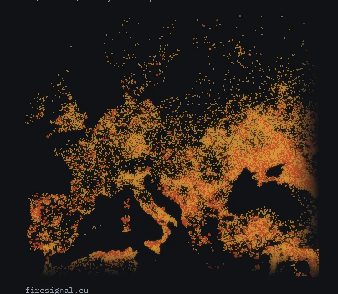
FireSignal shows wildfires across Europe as seen from space. The map refreshes every fifteen minutes with data from weather satellites and NASA.
Open the app and see where it burns: how large, how long, and which way the smoke is drifting. No account needed.
Drop a pin on your campsite, your home or a relative's address. You will see how far the nearest fire is and whether it is growing.
Plus sends you a notification as soon as a satellite sees fire within range of one of your places and the data reaches us. At night too: turn on critical alerts and they come through even when your phone is on silent. On Android this asks once for permission to interrupt Do Not Disturb. You follow up to five places, see tomorrow's fire danger and get a warning when the wind turns towards you.
Without Plus you are told the next morning if something happened.
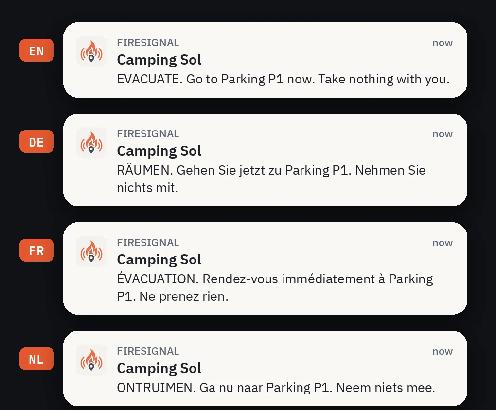
Staying at a campsite that uses FireSignal? Their code gives you alerts for that site for as long as you are there. Free.
Satellites see heat, not fire. Cloud and smoke block the view, and a small fire under the trees is invisible to everyone. No detection does not mean nothing is burning. FireSignal is an extra pair of eyes, not an alarm system: in case of danger always follow official channels and call the emergency number.
Satellites from NASA, EUMETSAT and Copernicus, and weather from MET Norway. Every fire shows which satellite saw it.
FireSignal Plus costs EUR 5.99 per month or EUR 29.99 per year. You pay through your App Store or Google Play account, and that is also where you cancel. The subscription renews automatically until you cancel.